Townfield Meadows
Vehicle Access & Improved Footpath
The following plan shows the existing ‘movement network’ across the site, and the locations of vehicular and pedestrian access points we intend to create / maintain as part of our proposals.
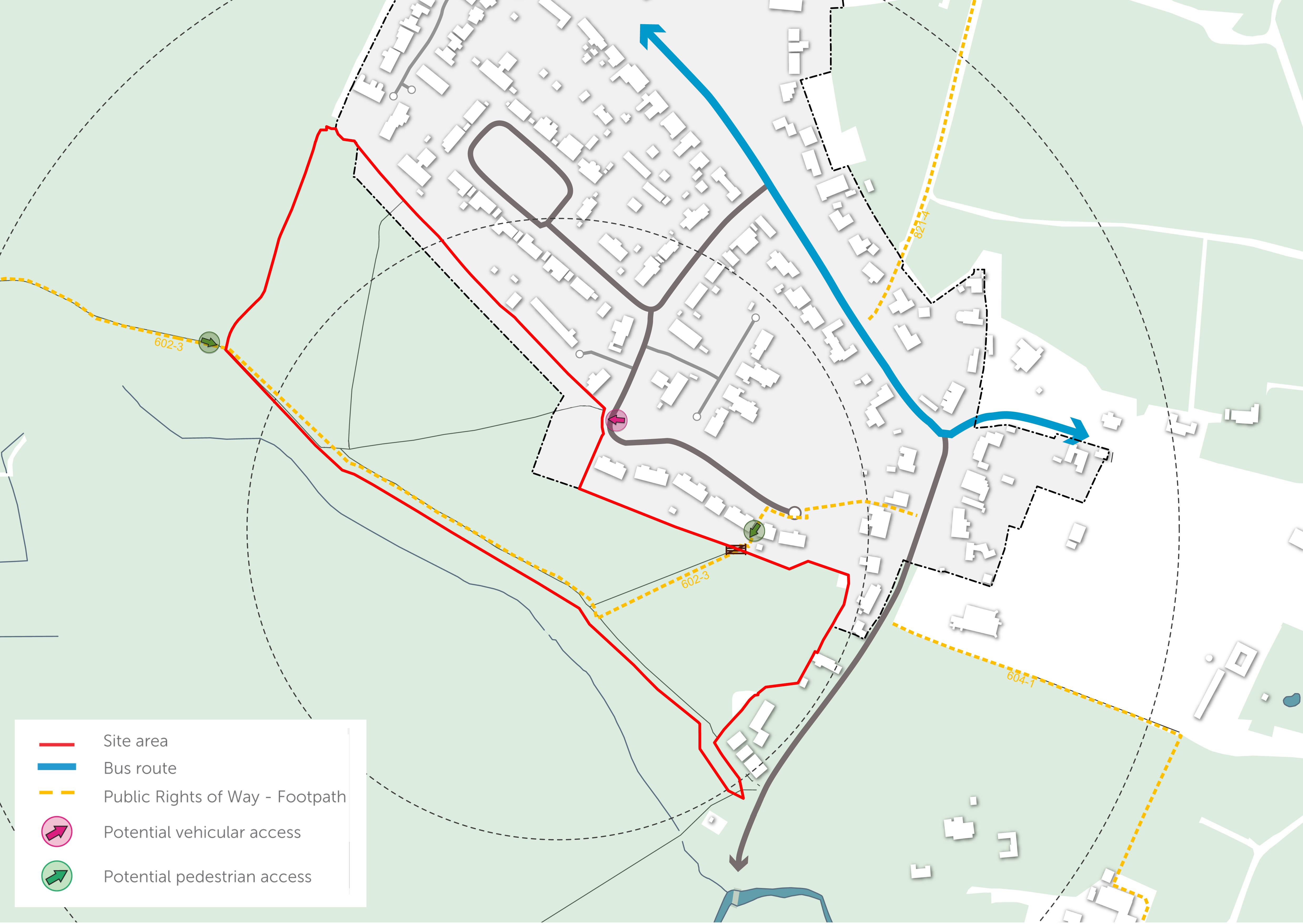
The sole vehicle access to the development is proposed from Cornwood to the north of the site. This access will be connected to a branched network of home zones that will be traffic-calmed, designed with planting and trees to create a safe and desirable network of connections for walkers and cyclists.
A variation in surface treatment and widths will be incorporated in the design, making sure access and turning heads for emergency vehicles and refuse collection is incorporated. To ensure the internal access roads within the development are safe and conducive to walking and cycling, a design speed of 20mph will form the basis for the masterplan of the development site.
The spatial layout will also include shared spaces within the development to encourage pedestrian/cycle priority and low vehicle speeds; appropriate on and off-street parking for cycles and vehicles; safe and attractive mobility corridors throughout the development to connect with existing pedestrian/cycle routes; and the provision of permeable links for pedestrians and cyclists.
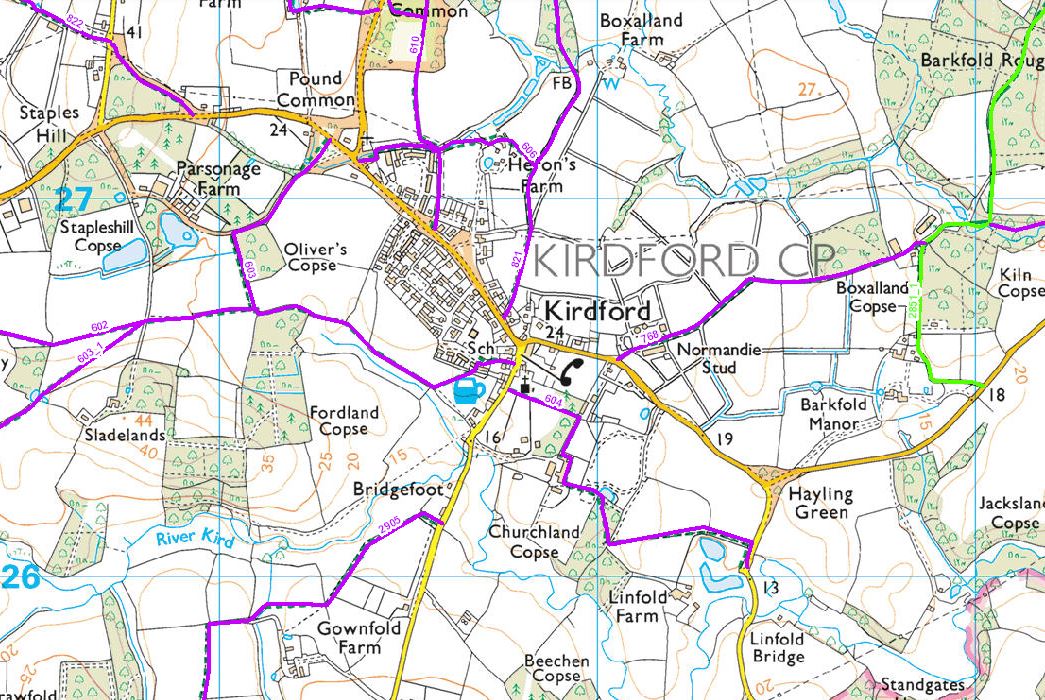
Public Rights of Way in Kirdford
A Public Right of Way (PROW) – Kirdford 602-3 – runs from Fordland Copse into the site and along the southern site boundary, before cutting north-east across the site to exit the site adjacent to homes on Cornwood and continue to the rear of the Half Moon Public House, connecting to Glasshouse Lane. To the south, this PROW connects to footpath 602-2 outside the site boundary which in turn connects to the wider network of footpaths and bridleways. This Public Right of Way will be retained and enhanced, with the connection to footpath 602-2 maintained and improved.
Contact Us
If you have any queries, please contact Adam Robinson of SP Broadway on
07711 262 925 or at adam@spbroadway.com